
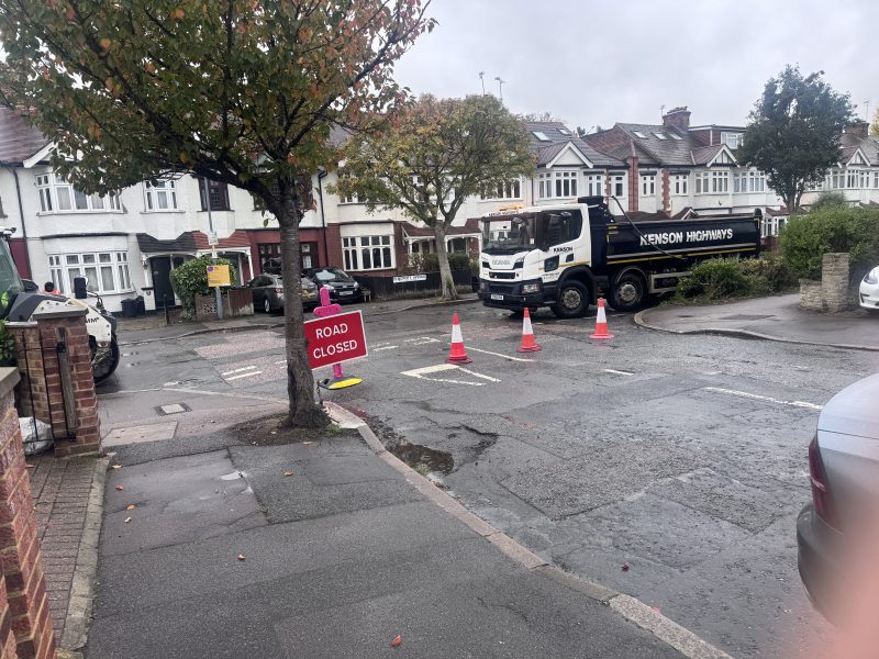
Elmcroft Ave is, for the next week, a roadworks nightmare.
If only there was a way people could know about how long roadworks would last, what they were for, whether they were overrunning or even – and here’s the Holy Grail – what roadworks are planned.
Well, lucky readers, another new service from Wansteadium: a roadworks dashboard, using data straight from the Department of Transport which shows where work is taking place, what’s coming up, how long it’s supposed to last, who is doing the work, and the level of disruption which might be expected. The data will update as the official information updates, often during the day.
A full list is available here, and it is always available via the menu of links at the top of the page.
(Note for data nerds: this tool is contained within WordPress and does not use AI in its day-to-day operation.)
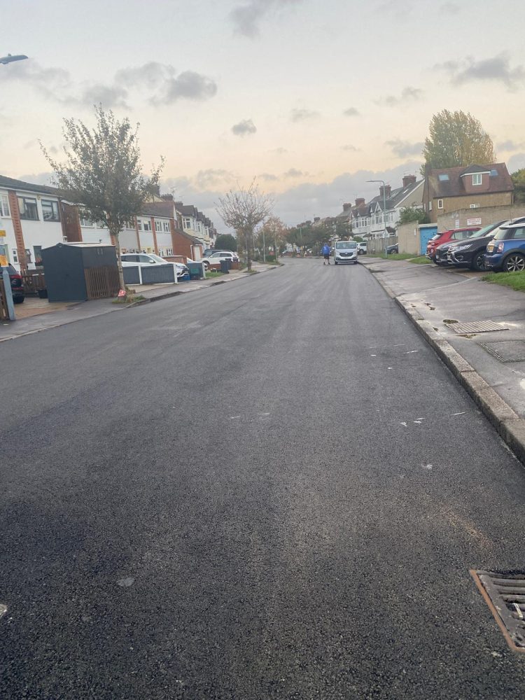
UPDATE 5pm
Elmcroft Ave has reopened, work apparently at least partly completed.
Will you archive the details? It would be interesting to know precisely how many attempts Thames Water make to fix the leaks on New Wanstead?
Thanks for this though you can also find roadwork information on the Redbridge website using the “Causeway one” link. For all roadworks though, the stated end date should be taken with a pinch of salt as normal practice seems to be that the day before the scheduled end, they suddenly add on another week or two. The Cambridge Park/Blake Hall junction for example originally due to finish by now but sneakily extended another week, Hollybush Hill was extended at least twice.
And of course no one says a word about this.
The Wansteadium info looks to be more useful than the Redbridge link that Eric mentions – and to be much more comprehensive.
Be nice, though, if Wansteadium’s offering was in alphabetical order – AND grouped as it seems to be with road CLOSURES above roadworks.
Very useful, nonetheless – so many thanks!!
Thanks Bob, that’s a good suggestion. We’ve added an option either to arrange the list by Road Closures first, or alphabetically by street name.